
Is Uyuni Salt Flats Worth It? Isla Incahuasi and How to Get There
Is Uyuni salt flats worth it for photographers? Isla Incahuasi and its cacti, short or long trips, and how to get to Uyuni.
Is Uyuni salt flats worth it? For a photographer, yes, with two conditions: be there at the ends of the day, not only at midday, and go beyond the salt if you can, to Isla Incahuasi's cactus forest, the flamingo lagoons and the geysers to the south. The Salar de Uyuni is remote, high and cold, and getting there from Asia takes planning, but nothing else on earth looks like it.
For the overview of the area, start with our Uyuni photography tour guide. Below we set out what you get for the effort, Isla Incahuasi in particular, and how to get to the salt.
Is Uyuni salt flats worth it for photographers?
The Uyuni salt flats are worth it because they give pictures you cannot make anywhere else. A flat white plain of about 10,582 square kilometres, as Britannica measures it, with a horizon so level that the sky meets the ground in a straight line; a crust of hexagons in the dry season; a mirror in the wet season. The doubts people raise are real but manageable. It is a long way from Singapore, the altitude is high, the nights are cold and the shared tours are crowded at the famous stops. None of that spoils the light. What spoils a Uyuni trip is arriving at noon, taking a few perspective photos and leaving before sunset, which is how many short tours run. Plan the time around sunset, dusk and dawn on the salt, and it becomes one of the best landscape trips you can make.
Is Uyuni worth visiting if you only have a short time?
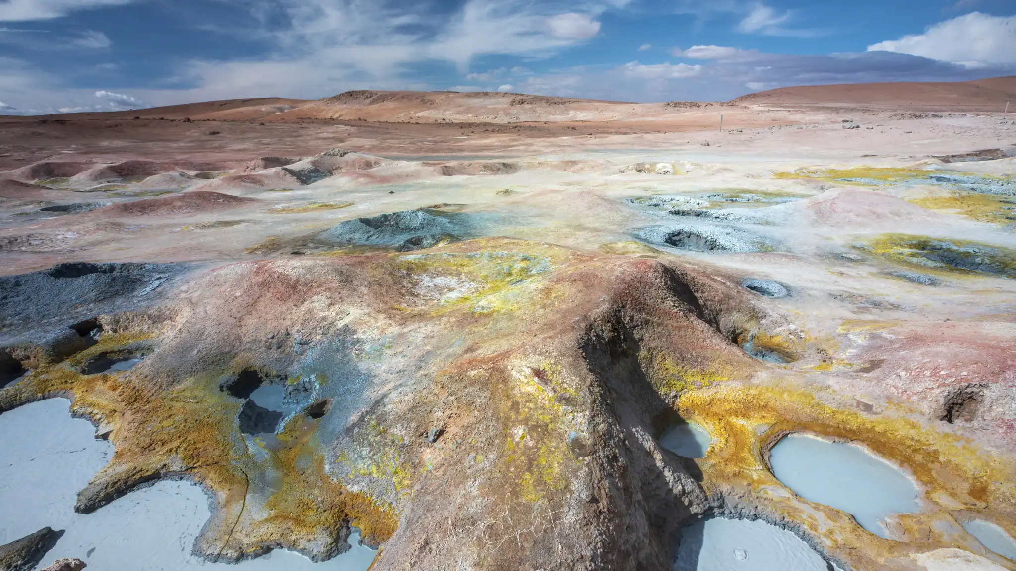
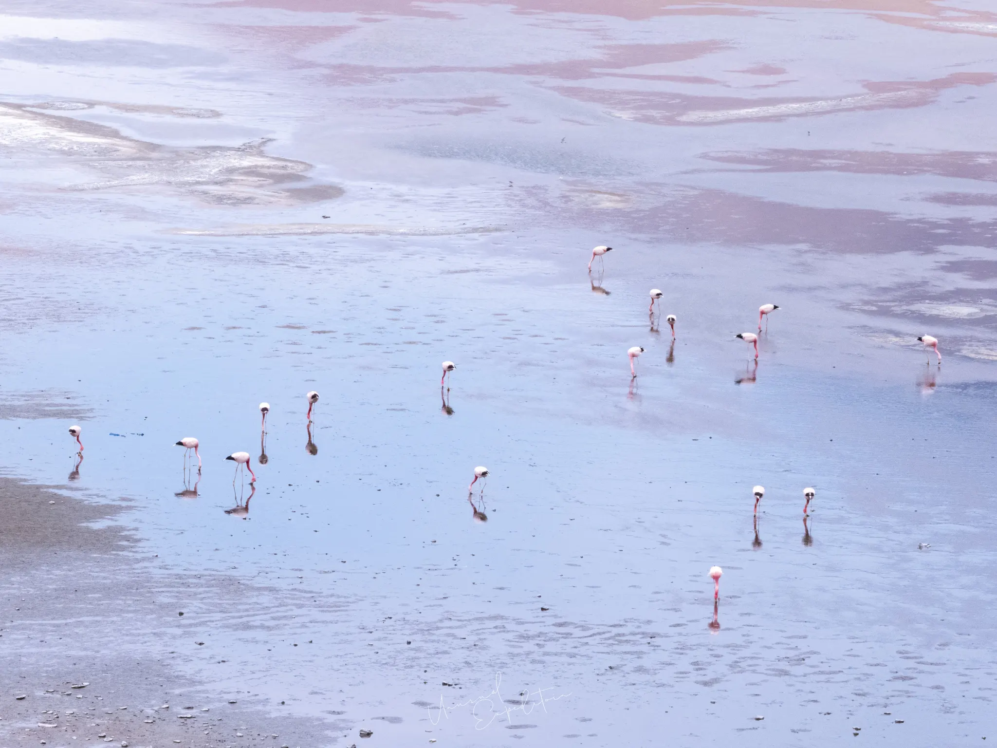
Uyuni is worth visiting even on a short trip, as long as the short trip includes one sunset and one sunrise on the salt. That is the minimum we would plan for photography. With more time, the southern loop through the lagoons of the Eduardo Avaroa reserve to Laguna Colorada and the Sol de Mañana geysers turns a salt flat visit into a much richer trip, with a new landscape every morning. If you must choose, the salt gives the iconic pictures and the south gives the variety: flamingos, red and lilac water, steaming mud and a night sky with no light on any horizon. Most of our own frames from the area came from the south, even though the salt is what people ask about first.
Isla Incahuasi: the cactus island in the middle of the salt
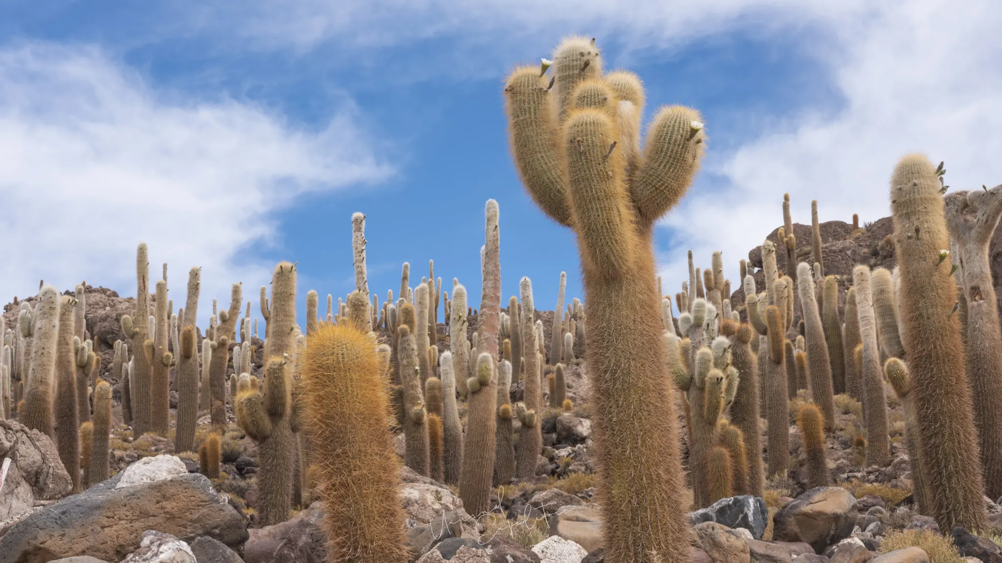
Isla Incahuasi is a rocky hill rising from the middle of the Salar de Uyuni, the top of an old volcano that was an island when the area lay under a prehistoric lake. Its slopes are covered with giant columnar cacti, some taller than a person by several times, standing among boulders of pale rock and fossil algae. A path climbs to the top, where the view runs across the salt in every direction. For photographers the island gives what the flat cannot: vertical lines and a foreground. The best frames put a cactus or a group of them against the white of the salt below and the deep blue of the high-altitude sky above. Morning light is gentler than midday, and cloud is welcome. A small entry fee is charged at the island; Lonely Planet notes that most salt flat tours stop here.
Isla Incahuasi cactus: how to photograph it
The Isla Incahuasi cactus forest is easiest to photograph from the path that circles and climbs the hill. A 24-70mm covers most frames; a 16-35mm, used close to a single cactus, exaggerates its height against the sky. Walk a little away from the main stopping area and you lose the crowds quickly. Side light picks out the spines and the ribs of the trunks, which glow when the sun is behind them. The cacti are protected, so stay on the paths and do not touch them. Sources differ on their maximum height and growth rate, but all agree that they grow very slowly, so the tallest have stood here a very long time. If the salt is flooded in the wet season, the island may be out of reach, so check with your driver.
"Incahuasi is where the salt finally gets a vertical line. I like it early, before the vehicles arrive, when the cactus shadows are still long on the rock and you can hear the wind on the hill."
Joseph Mak, tour leader, Unusual Expedition
How to get to Uyuni salt flats
There are four common ways to get to the Uyuni salt flats, and all of them end in the small town of Uyuni or, for the southern route, at the Chilean border. Distances are long and roads at altitude are slow, so we do not plan the overland options as a single push.
| Route | How it works | Suits |
|---|---|---|
| Fly from La Paz | Domestic flights from El Alto airport to Uyuni's Joya Andina airport, operated by Boliviana de Aviación | Most visitors; saves the long road |
| Overland from La Paz | Road via Oruro, or the train south from Oruro | Travellers with time who want the Altiplano on the way |
| From San Pedro de Atacama, Chile | Cross the border into the Eduardo Avaroa reserve and travel the lagoon route north to the salt | Combined Chile and Bolivia trips |
| From Tupiza or Sucre | Overland from the south or east | Longer journeys through southern Bolivia |
For most photographers coming from Asia, flying from La Paz is the sensible choice: the time saved goes to the salt.
How to get to Uyuni from La Paz
How to get to Uyuni from La Paz is mainly a choice between flying and the road. The flight is the practical option, but schedules on domestic routes change, so book early and keep a margin in your plans. La Paz itself is worth time in its own right, for the cable cars over the city, the markets and the cholita wrestling in El Alto; our Bolivia photography tour guide covers the city and Lake Titicaca. Coming from Singapore, the long-haul part of the journey to La Paz is covered in our guide to getting to Uyuni.
Is Uyuni safe?
Uyuni is generally safe for visitors; the risks are mostly altitude, cold and the condition of vehicles on remote roads. Choose an operator with well-maintained four-wheel-drives, experienced drivers and spare tyres, and do not drive out onto a flooded salt flat yourself. In Bolivia more widely, road blockades and protests can interrupt travel at short notice; as at November 2026 Singapore's Ministry of Foreign Affairs advises a high degree of caution because of protests and blockades in La Paz and other areas, and the UK FCDO advises against all but essential travel only to the Chapare region, far from Uyuni. Our Bolivia photography trip FAQ has the current picture.
Plan a Uyuni trip that is worth it
We build private Uyuni trips around sunset, dusk and dawn on the salt, with the southern lagoons and geysers added when you have time. Private tours are for individuals, couples, families and photographers at their own pace; we arrange the logistics, the cost can be lower than a group tour because no tour leader travels, and a photographer or photography coaching can be added at extra cost. Two months' notice is best, but last-minute trips can be arranged. See private tours and our Bolivia photography tours page.
Uyuni photography tours
The next Uyuni departure is announced on the Uyuni photography tours page, with previous expeditions and all the planning guides.
Explore Uyuni in depth
- Uyuni Photography Tour: The Salt Flats, Lagoons and GeysersBolivia
- How to Get to Uyuni Salt Flats: Visa, Flights, Altitude and MoneyBolivia
- Sol de Mañana Geysers: Photographing Bolivia's Highest Geothermal FieldBolivia
- Laguna Colorada Flamingos: Where to See Flamingos in BoliviaBolivia
- Uyuni Sunset, Sunrise and Night Sky: Photographing the Salt Flats After DarkBolivia
- Best Time to Visit Uyuni Salt Flats: Mirror Season or Dry SeasonBolivia
- Uyuni Salt Flats Photos: Photo Ideas and Where to StandBolivia
Upcoming Photo Tours
- Egypt Photo Tour – EgyptEgypt 12 Dec 2026 To 20 Dec 2026
- Inner Mongolia Winter Owl Photo Tour – ChinaChina 01 Jan 2027 To 04 Jan 2027
- Inner Mongolia Winter Photo Tour – ChinaChina 05 Jan 2027 To 11 Jan 2027
- Mekong And Central Highland Vietnam Photo Tour - VietnamVietnam 16 Jan 2027 To 24 Jan 2027